Gunter

Gunter.city — Small town. Big heart. Your neighborhood news.

Back to Weather

5-day forecast / Gunter, TX

SundayPartly Sunny94° / 72° 11%
MondayChance Showers And Thunderstorms92° / 71° 42%
TuesdayMostly Sunny91° / 70° 14%
WednesdayMostly Sunny91° / 69° 7%
ThursdayPartly Sunny91° / 68° 2%

Dangerous Heat Hits Gunter as Storms Loom for Tomorrow - Sep 20, 2 PM

Gunter weather, updated every four hours — local forecasts you can trust.

Gunter, TX faces dangerous heat today with a feels-like temperature of 100F. While skies are partly sunny, the chance for showers and thunderstorms rises significantly tomorrow.

Sasha Zimmer

September 20, 20262 min read

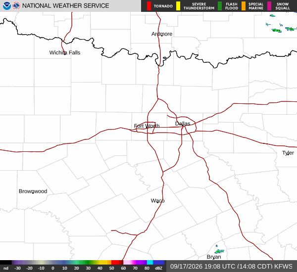
National Weather Service radar for North Texas (KFWS)

*As of Sep 20, 2 PM local time.*

Dangerous Heat Conditions

Residents in Gunter, Texas, are currently experiencing dangerous heat conditions this Sunday afternoon. The air temperature stands at 95F, but the heat index makes it feel like 100F. Relative humidity is at 42%, with a dew point of 68F. Winds are blowing from the south southwest at 9 mph, with gusts reaching 7 mph. The sky remains overcast despite the high temperatures.

Temperatures today will reach a high near 94F before falling to around 91F in the afternoon. Heat index values may climb as high as 97. Tonight, conditions will shift with mostly cloudy skies and a low around 72F.

Winds will ease to east southeast at 0 to 5 mph. There is a chance for showers and thunderstorms between 7pm and 10pm, followed by another chance between 10pm and 4am. The overall chance of precipitation is 50%, with new rainfall amounts potentially ranging from a tenth to a quarter of an inch.

Storms Expected Tomorrow

The weather pattern changes tomorrow with a high near 92F and a low near 71F. Skies will be mostly sunny, but the chance for showers and thunderstorms increases significantly. There is a chance for precipitation before 4pm, followed by continued chances later in the day.

Temperatures may fall to around 90F in the afternoon. Winds will be from the north northwest at 0 to 5 mph. The chance of precipitation is listed at 42%, with new rainfall amounts between a quarter and half of an inch possible.
Tomorrow night brings partly cloudy skies and a low around 71F. There remains a chance for showers and thunderstorms before 7pm, with winds from the north northeast around 5 mph. The precipitation chance drops to 30%, with potential rainfall between a tenth and a quarter of an inch.

Safety Reminders

Given the dangerous heat today, it is crucial to stay hydrated and limit midday exertion. As storms approach tomorrow, be prepared for sudden changes in weather. While there are no active National Weather Service or NOAA alerts currently in effect, the potential for severe thunderstorms warrants caution. Always monitor local conditions as they can change rapidly.

National Weather Service radar for North Texas (KFWS)

Sources

National Weather Service radar

National Weather Service forecast data

Open-Meteo weather data

Share

Sasha Zimmer

Sasha Zimmer covers weather, storms, and seasonal life around Gunter.

Related Stories

More in Sport