Gunter

Gunter.city — Small town. Big heart. Your neighborhood news.

Back to Weather

5-day forecast / Gunter, TX

FridaySlight Chance Showers And Thunderstorms102° / 81° 11%
SaturdaySlight Chance Showers And Thunderstorms106° / 80° 15%
SundaySunny105° / 83° 6%
MondaySunny106° / 83° 3%
TuesdaySlight Chance Rain Showers then Sunny107° / 81° 15%

Gunter, TX: Heat Advisory in Effect as Temperatures Soar Near 106 Degrees - Aug 21, 2 PM

Gunter weather, updated every four hours — local forecasts you can trust.

A moderate Heat Advisory is active for Gunter, TX, with highs near 102 today and 106 tomorrow. Feels-like temperatures reach 92F now, with a slight chance of storms.

Sasha Zimmer

August 21, 20262 min read

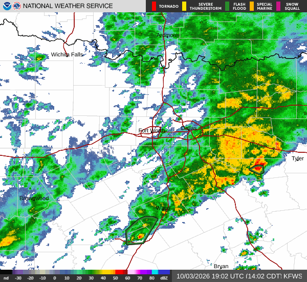
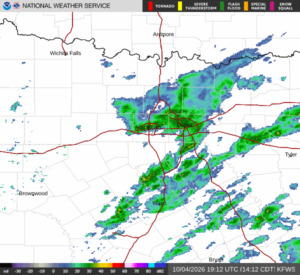
National Weather Service radar for North Texas (KFWS)

*As of Aug 21, 2 PM local time.*

Current Conditions and Alert Status

Gunter, Texas, is currently under an active Heat Advisory issued by the National Weather Service in Fort Worth. This moderate-severity alert is expected to remain in effect through the upcoming evening hours. As of this Friday afternoon, the air temperature stands at 91F, with a feels-like temperature of 92F due to humidity levels at 38% and a dew point of 63F.

Winds are light from the south southwest at 9 mph, with gusts matching that speed under clear skies.

Forecast for Today and Tonight

Today, residents can expect mostly sunny conditions with a high near 102F. Heat index values may climb as high as 104F during the day. There is a slight chance of showers and thunderstorms before 4pm, though the overall chance of precipitation remains low at 11%. Winds will shift to south southwest around 5 mph.

Tonight, skies will become partly cloudy with a low around 81F. The heat index will remain elevated, reaching up to 103F. A slight chance of showers and thunderstorms is possible after 4am, bringing the precipitation chance to 20%. Winds will increase slightly to south southeast at 5 to 10 mph.

Outlook for Tomorrow

Tomorrow will be significantly hotter, with a high near 106F and heat index values peaking at 108F. Conditions will remain mostly sunny with a slight chance of showers and thunderstorms throughout the day. The chance of precipitation is listed at 20%, with south winds around 5 mph.
Tomorrow night, skies will clear to mostly clear with a low around 80F, though temperatures may rise to around 82 overnight. Heat index values could reach 107F. A slight chance of showers and thunderstorms is possible before 10pm, with winds from the south southeast at 5 to 10 mph.

Safety Reminder

With extreme heat advisory conditions in place, it is crucial to stay hydrated and limit midday exertion. Check on elderly neighbors and ensure pets have access to cool water and shade. Avoid prolonged exposure to direct sunlight during peak heat hours.

National Weather Service radar for North Texas (KFWS)

Sources

https://radar.weather.gov

https://api.weather.gov

https://open-meteo.com

Share

Sasha Zimmer

Sasha Zimmer covers weather, storms, and seasonal life around Gunter.

Related Stories

More in Sport