Gunter

Gunter.city — Small town. Big heart. Your neighborhood news.

Back to Weather

5-day forecast / Gunter, TX

ThursdaySunny105° / 80° 14%
FridaySunny then Slight Chance Showers And Thunderstorms105° / 80° 22%
SaturdaySunny105° / 79° 10%
SundaySunny104° / 80° 2%
MondaySunny104° / 81° 5%

Extreme Heat Warning in Effect for Gunter as Temperatures Soar Near 105 - Aug 20, 6 AM

Gunter weather, updated every four hours — local forecasts you can trust.

An Extreme Heat Warning is active for Gunter, TX, with current feels-like temperatures at 87F and highs near 105F today. Residents are urged to take precautions against severe heat.

Sasha Zimmer

August 20, 20262 min read

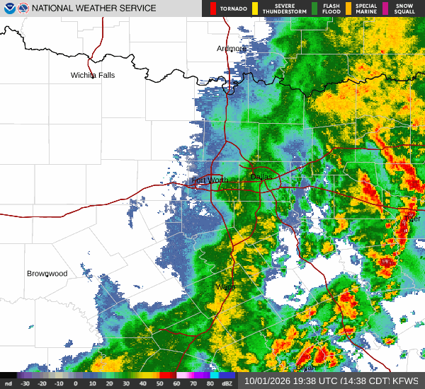
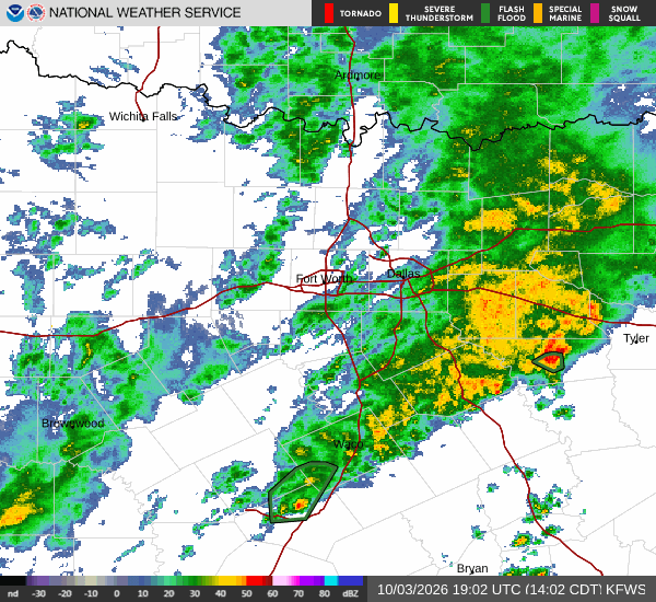
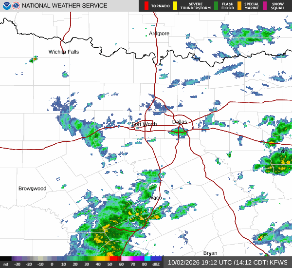
National Weather Service radar for North Texas (KFWS)

*As of Aug 20, 6 AM local time.*

Current Conditions and Alert Status

Gunter, Texas, is currently under an Extreme Heat Warning issued by the National Weather Service in Fort Worth. This severe alert remains in effect until 8:00 PM CDT on August 20. As of this morning on Thursday, conditions are already intense.

The air temperature stands at 84F, but the heat index makes it feel like 87F. Relative humidity is at 56% with a dew point of 67F. Winds are blowing from the southwest at 11 mph, with gusts reaching up to 19 mph, under clear skies.

Forecast for Today and Tonight

The National Weather Service forecasts sunny skies today with a high near 105F. Heat index values are expected to climb as high as 109 during the day. Southwest winds will persist at 5 to 10 mph. The chance of precipitation is low at 14%, with a low near 80F expected overnight.

Tonight, skies will become partly cloudy. A slight chance of showers and thunderstorms may occur between 7pm and 10pm. Temperatures will drop to around 80F but rise to approximately 82F later in the night. The heat index could reach as high as 111. Southeast winds will lighten to around 5 mph, with a 20% chance of precipitation.

Outlook for Tomorrow

Tomorrow brings continued extreme heat with sunny skies and a high near 105F. Heat index values are projected to hit 112. South southwest winds will remain light at around 5 mph.
A slight chance of showers and thunderstorms is possible after 1pm, bringing the precipitation chance to 20%. Overnight lows will settle near 80F, rising to about 82F later in the night, with heat indices up to 110. South winds will stay around 5 mph.

Safety Reminder

With temperatures and heat indices reaching dangerous levels, it is critical to stay hydrated and limit outdoor exertion, especially during midday hours. Check on elderly neighbors and ensure pets have access to cool water and shade. Avoid leaving anyone or any animal in parked vehicles.

National Weather Service radar for North Texas (KFWS)

Sources

https://radar.weather.gov

https://api.weather.gov

https://open-meteo.com

Share

Sasha Zimmer

Sasha Zimmer covers weather, storms, and seasonal life around Gunter.

Related Stories

More in Sport