*As of Aug 30, 2 PM local time.*
Dangerous Heat Conditions
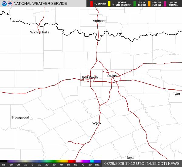
A significant heat event is currently affecting Gunter, Texas, creating hazardous conditions for outdoor activities. As of this Sunday afternoon, the air temperature stands at 99F, but the combination of heat and humidity pushes the feels-like temperature to a dangerous 102F. The relative humidity is at 33%, with a dew point of 64F.
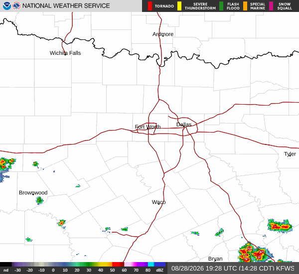
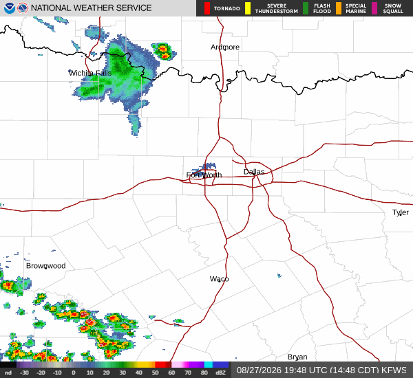
Winds are blowing from the south southwest at around 10 mph, with gusts reaching up to 23 mph. The sky remains mostly clear, allowing intense solar radiation to drive temperatures higher.
The National Weather Service indicates that heat index values will climb as high as 104 during the peak of the day. This level of heat stress poses serious risks for anyone spending extended time outdoors. Residents are urged to recognize the signs of heat exhaustion and heat stroke, which can develop rapidly under these conditions.
It is critical to stay in air-conditioned environments as much as possible and avoid strenuous physical activity during the hottest parts of the day.
Forecast Outlook
Looking ahead, the intense heat will persist through the weekend. Today is expected to be sunny with a high near 101F and a low near 79F. There is no chance of precipitation, so the dry air will continue to facilitate rapid heating.
Tonight, skies will turn mostly clear. Temperatures will drop to a low around 79F, though they may rise slightly to around 81F overnight due to residual heat. The heat index will remain elevated at values as high as 101, with south winds ranging from 5 to 10 mph.
Tomorrow brings no relief from the warmth. The day will be sunny with a high near 100F and a low near 79F. Heat index values are forecast to reach 102, with south winds continuing at 5 to 10 mph.